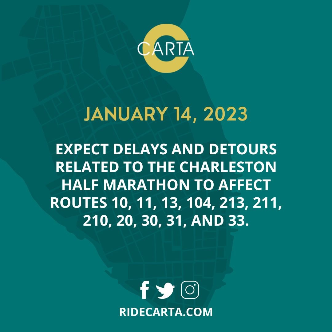
See below for list CARTA detours for the Charleston Half Marathon January 14, 2023
Rt 10
Inbound
- From Rivers @ Cosgrove
- Right on Cosgrove
- Right on I-26 East (To Charleston)
- Exit on Ext #217. Stay to the right and follow exit to Meeting St. Rd.
- Continue on regular route
Outbound
- From Meeting St. Rd. after Pittsburgh Ave.
- Veer left to get onto I-26
- Exit on Ext 216B Cosgrove
- Continue on Cosgrove across Rivers Ave. (To go around the Superstop)
- Right on Navajo St.
- Right on Cherokee St.
- Right on Rivers Ave.
- Continue on regular route.
Rt 11
Inbound
- From Rivers @ Cosgrove
- Right on Cosgrove
- Right on I-26 East (To Charleston)
- Exit on Ext #217. Stay to the left to wards Bainbridge Connector.
- Exit Bainbridge
- Left on Bainbridge (1st light)
- Left at Stromboli (2nd Light)
- Right on Spruill Ave.
- Right on Grayson
- Right on North Carolina
- Continue on regular route.
Outbound
- Continue on N. Carolina to Grayson
- Left on Grayson
- Left on Spruill Ave.
- Right on Meeting St. Rd.
- Veer left to get onto I-26
- Exit on Ext 216B Cosgrove
- Continue on Cosgrove across Rivers Ave. (To go around the Superstop)
- Right on Navajo St.
- Right on Cherokee St.
- Right on Rivers Ave.
- Continue on regular route.
Rt 13
Inbound
- From N. Rhett
- Continue around Circle to S. Rhett
- Left on S. Rhett
- Right on Helm
- Left on Rivers
- Continue to the Superstop.
Outbound
- From Rivers @ Cosgrove
- Right on Navajo St.
- Right on Cherokee St.
- Right on Rivers Ave.
- Right on Helm Ave
- Left on S. Rhett
- Continue around Circle to N. Rhett
Rt 104
Inbound
- From E. Montague
- Continue around circle to S. Rhett
- Left on S. Rhett
- Right on Helm
- Left on Rivers
- Continue to the Superstop.
Outbound
- From Rivers @ Cosgrove
- Continue on Rivers Ave to Helm Ave.
- Right on Helm Ave
- Left on S. Rhett
- Right on Park Circle
- Continue on regular route.
Rt 213 (Loop)
Stand down at the Visitor center if caught east of King St. Otherwise:
- From Bee St. Just before the VA
- Right on Cherry (Blow Horn and wave VA stop passengers over)
- Right on Cross Town/Cannon
- Continue on Cannon.
- Right on St. Philip
- Right on Calhoun (Blow Horn and wave C of C stop passengers over)
Rt 211 (Loop)
Stand down if caught on Spring St. Otherwise:
- From Visitor Center
- Right into the Bus Shed
- Right on Ann St.
- Right on Meeting St.
- Left on Broad St. Continue on Regular route until Wragg Square
- Left on Wragg Square
- Right on Meeting
- Right on John St.
Rt 210 (Loop)
Stand down if caught west of King St. Otherwise:
- From Visitor Center
- Right into the Bus Shed
- Right on Ann St. Continue through Meeting St. to Elizabeth St.
- Right on Elizabeth St.
- Left on Calhoun St.
- Continue on regular route to the Aquarium.
Rt 20 (Loop)
- From Meeting @ Chalmers continue to Brigade St.
- Right on Brigade St.
- Left on Morrison Dr.
- Left on Meeting St.
- Left on S. Market
- Right on E. Bay
- Right on Broad
- Right on Meeting
Rt30
Inbound
- From Cannon St.
- Left on Ashley Ave.
- Right on Crosstown
- Exit on Romney
- Right on Romney
- Right on Meeting
- Right on Wragg Square. Continue to Transit mall
Outbound
- From Mary St.
- Left on Meeting St.
- Left on Cypress St.
- Left on the Ramp to Septima Clark
- Right on Shephard
- Left on Rutledge Ave.
- Right on Spring- Stay in the left lane to go over Hwy17- Lockwood overpass.
- Continue on regular route.
Rt33 and 31
Inbound
- From Calhoun St.
- Left on Ashley Ave.
- Right on Crosstown
- Exit on Romney
- Right on Romney
- Right on Meeting
- Right on Wragg Square. Continue to Transit mall
Outbound
- From Mary St.
- Left on Meeting St.
- Left on Cypress St.
- Left on the Ramp to Septima Clark
- Right on Shephard
- Left on Rutledge
- Right on Calhoun- Continue on regular route.